One prime advantage of 3d scanning data is its dense accumulation of full scale data points, enabling one to essentially create a precise digital map of any surface scanned. This is a valuable tool in understanding the true nature of a building or site. Mapping will provide insight into high and low point deviations, deflections and alignment issues. Using the same technology cut and fill areas can be determined on construction sites.
Start Your Next Project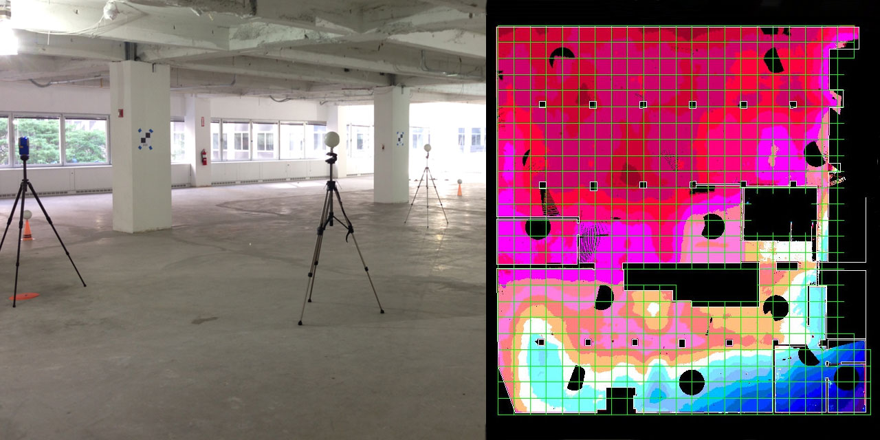
Floor Deviation Maps
Using scan data, floor deviation maps can be quickly prepared showing elevations in topo format. A base point established on site serves as a reference, grids can also be overlaid if needed for ease of spot locations in the field. This tool is useful in evaluating both new floor pours and existing slabs.
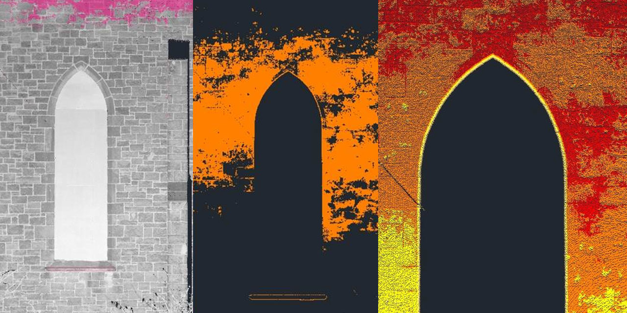
Wall and Planar Surface Mapping
Walls, both existing and new, can be out of square or alignment. Understanding those deviations allows for a fix prior to finish construction. Mapping those surfaces provides insight into the location of any anomalies within those walls, as it will clearly show areas deviating from the standard line of the surface plane.
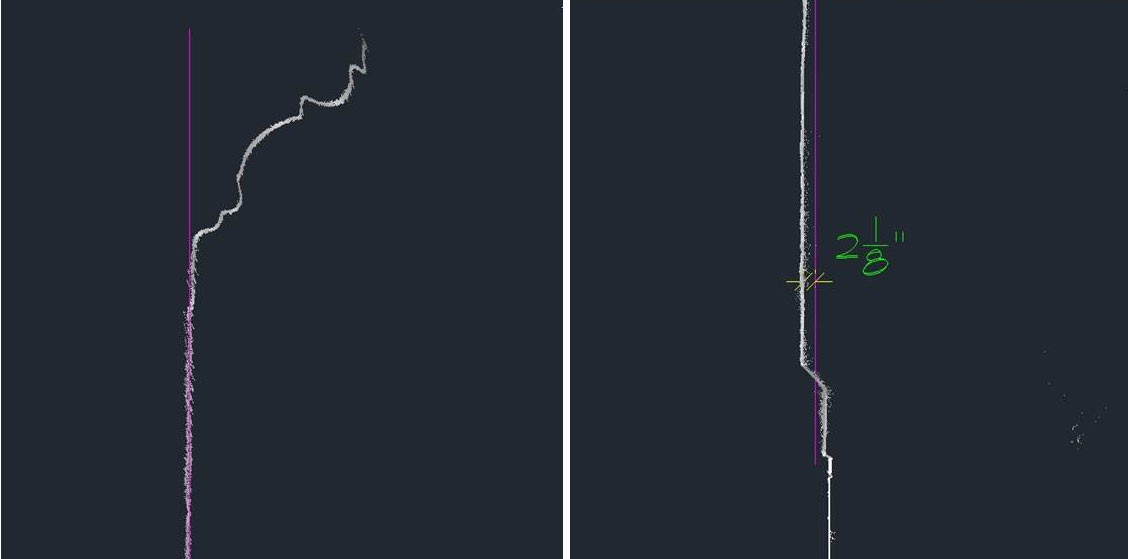
Object Deflection and Surface Irregularities
When confronted with long span beams or rusticated stone walls, understanding the true planar line of the element is difficult. Scanning allows you to create sections referenced to a true plane, providing a means to measure deviations.
